The Ocean Sciences Meeting 2012 in Salt Lake City, USA.
Posted on 20 April 2012
The Ocean Sciences Meeting 2012 in Salt Lake City, USA.
 By Vanesa Magar, Agent and lecturer in Coastal Engineering, University of Plymouth.
Hectic and fascinating are the words that best describe the Ocean Sciences Meeting 2012. It's a week-long conference attended by more than 3000 participants, including biologists, chemists, physicists, mathematical modellers, oceanographers, engineers and educators. There was a large number of poster presentations, which I found to be a great opportunity to interact with people and hear what they had to say about my research. In this blog, I'll take a look at the software-related aspects of the nearshore processes and data-management sessions (if you want more information, read my conference report).
Nearshore Processes
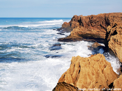
Nearshore processes are ocean and beach processes that relate to the nearshore portion of the continental shelf. They shape the coast and include waves, winds, tides, currents, the seafloor and the coast. These processes are very important, because they are significantly affected by climate change. Indeed, climate change has been increasing the frequency and strength of extreme storms, which in turn cause erosion and flooding of cliffs, lowlands and estuaries. This has important impacts on coastal and estuarine ecosystems and on fisheries, shipping and tourism.
The nearshore session at the Ocean Sciences Meeting was highly interdisciplinary and included biologists and chemists as well as engineering and physical researchers, which was an interesting mix of people and research. It is relevant to my research on sediment transport, climate change, erosion and marine renewable energy. Allison Penko presented an analysis of the hydrodynamics above undulating seabeds using parallelised RANS models and Simon Neil from the University of Bangor discussed an analysis of coastal impacts by renewable energy device arrays using a 1D version of the UNIBEST code. A large amount of experimental research was also presented, for which data acquisition, processing and archiving software is needed. Speakers and presenters generally did not discuss this, but commonly used software includes: equipment-specific software, Excel, Matlab, Python, or R.
Data Management
I had never been to a conference where data management issues were discussed, and I think that this shows the increasing importance of data management in research.
The National Oceanographic Data Center (equivalent to the UK's British Oceanographic Data Centre), gave a lunchtime workshop on good data-management practices.
Other data archiving initiatives were discussed. Carly Strasser, of the California Digital Library, is running a project on data curation for Excel. She discussed the DataONE project, and stressed the importance of wise filename choices and metadata standards (eg. NOAA’s MERMaid to create Content Standard for Digital Geospatial Metadata).
I discussed open-source data management software with researchers from Plymouth University and USGS Woods Hole. This included a talk about standardisation efforts to use OPeNDAP for delivery of gridded data and OGC Sensor Observation Services for delivery of in-situ data. We also discussed the NCTOOLBOX for Matlab, the OpenEarthTools (packages in R, Python and Matlab made freely available by Deltares), and NetCDF4-Python, which allow fast and efficient access to OPeNDAP data sources.

